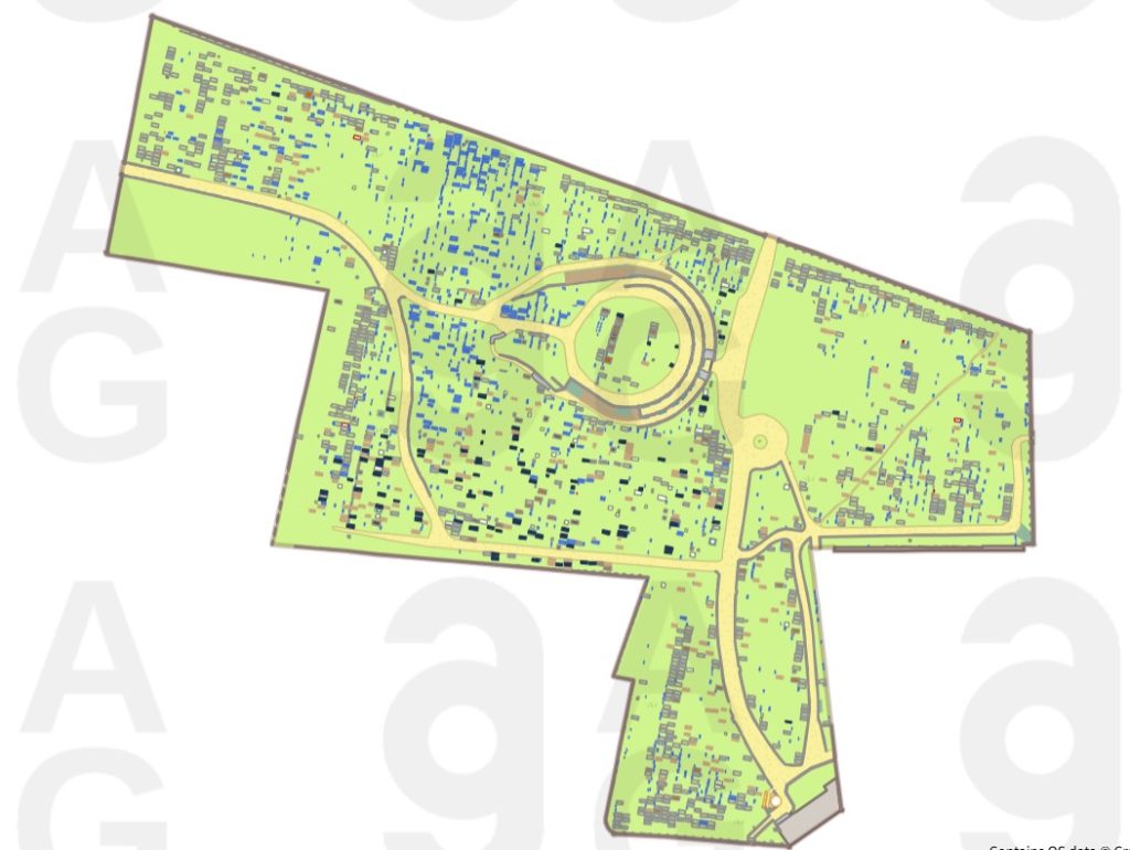
This online map allows you to see every gravestone in the cemetery – each is accompanied by photos of the stone and information about the people commemorated on it. You can search by name and date if you are interested in a particular record. This information comes from the memorials, and not the burial records, so does not include unmarked graves at present. The system contains information about over 7,000 people, but over 90,000 are interred in the cemetery. Full burial records are available from Birmingham City Council.
Please note that the system is not quite complete. We still have about 500 records to upload, and all of the data is being rechecked for any errors/discrepancies. If you notice an error or have any questions, please email [email protected] with the subject line ‘Warstone Lane Cemetery BGMS’.
This map was commissioned by Caring For God’s Acre and created by AG Intl with data added by over 25 volunteers over 5 years, representing over 1,100 hours of work to photograph memorials, record and check inscriptions and upload the information. This would not have been possible without funding and support from the National Lottery Heritage Fund, Historic England and the Garfield Weston Foundation. Thank you to Birmingham City Council Bereavement Services for their cooperation, the Jewellery Quarter Research Trust for sharing their inscription data and knowledge with the project, and to the Friends of Key Hill and Warstone Lane Cemeteries for their support for the the project and assistance with volunteer recruitment.